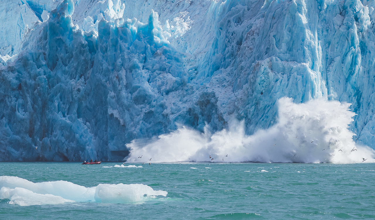
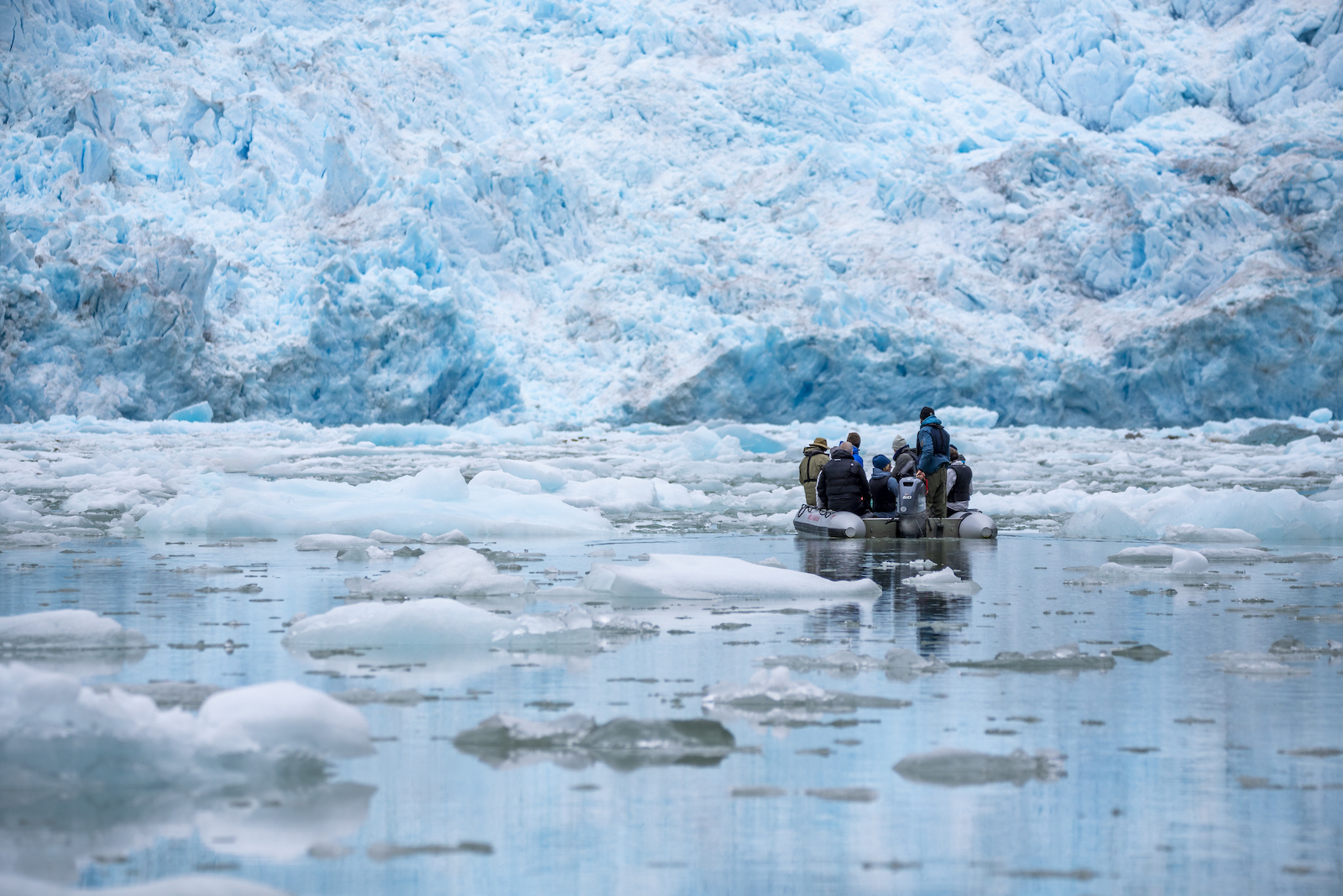
The tidewater glaciers that we visit on our our small ship Alaska cruises are retreating. In Maple Leaf Adventures’ 30 years of operating trips both the Sawyer Glacier in Tracy Arm and the Dawes Glacier in Endicott Arm have noticeably retreated.
Here’s a great visual to show you that maps and charts, which are not updated every year, can quickly become out of date with respect to the location of glaciers!
Read below for an explanation. Click image to see it larger.
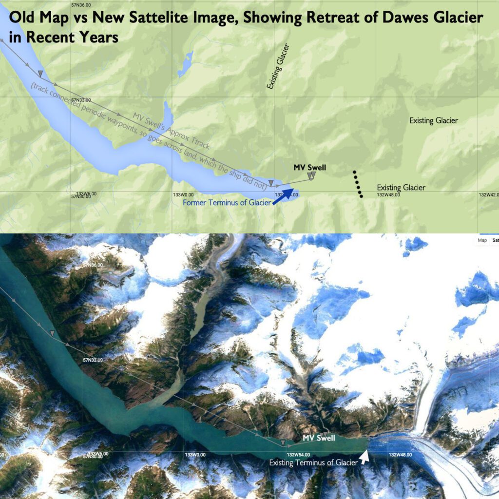
This is a map from a website that plots the track of our ships – so we in the office, we can see where they are. If you look at the head of the fjord, it looks as if the MV Swell has just driven right up onto the (green) land and kept going.
But when you switch from “map view” to satellite view (a more recent image), you can see that Swell is in the water. The glacier has just retreated a lot since the map was made!
The glacier beside it has also been dramatically retreating in the last century, to the point that it no longer reaches the ocean. The retreat is due to less precipitation falling on the source of the glacier, many kilometres back into the mountains, and increased melting.
- Read more details about the retreat of neighbouring North Dawes Glacier here.
- Read about our Alaska small ship cruises here.
